Ride Information
- Distance 45 miles (72km)
- Climbing 1624m (5263ft)
- Grade Medium hard – several steep climbs including the 25 per cent Challacombe Hill. Bring a compact chainset unless you’re brave and light
- Maps OS Landranger 180 Barnstaple and Ilfracombe
- Download the route here
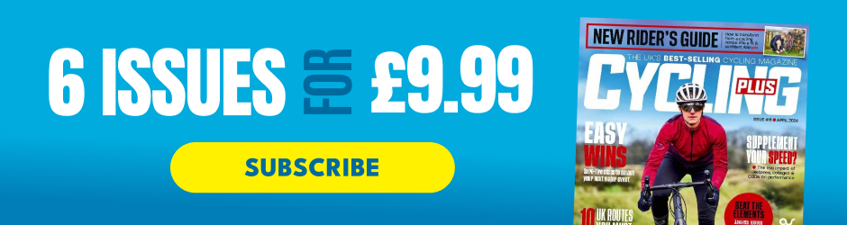
All our club rides start here on the round Square in Barnstaple,” says our local North Devon guide for the day, Yorkshireman Rob, as we cross the wide paved space around the Barnstaple tourist information centre – which is indeed round.
The surprises don’t stop there, as it only takes us minutes to ride out of North Devon’s biggest town, away from the wide, sandy shallows of the river Taw, heading north on the A39. It just doesn’t seem right: we’re on a main road in the middle of August near one of the UK’s most popular holiday destinations, and we’ve got the wide, sweeping, uphill curves to ourselves.
Our rolling climb carries on for seven kilometres, with our last gentle ramp just past Shirwell Cross, after the impressive gates of Youlston Park. This 17th century property can accommodate you and nine of your guests for a week if you’ve got a spare £14,000 – butler included.
We top out on the edge of an even bigger country house estate – Arlington Court. Just past a little gatehouse, which must be one of the estate’s back doors, the road finally starts downhill for the first time.
A hazard sign warns of a 12 per cent descent and sharp bends for the next half a mile but Rob – who’s behind me – pipes up: “You don’t need to brake on the last one.” I should have let him lead…
Three tight downhill bends into the descent, a narrow right-hander appears and I assume Rob means this one. Halfway through the corner tightens into a fully fledged switchback and I realise he didn’t. It’s a close run thing as I almost bottle it, scrabbling wide on the sketchy surface. Luckily it’s dry today, and I make it round.
Despite the near miss the 2km descent is a joy, as the road twists and drops around the edge of woodlands. A sweeping left over a stream signals the end, and we start climbing again.
Only later would I realise how expensive one bad corner can be. Uploading my ride to Strava I noticed that only nine ‘Strava’isti’ have logged a faster time on the ‘ZigZags Down’ descent – one of whom is Giro stage winner Alex Dowsett.
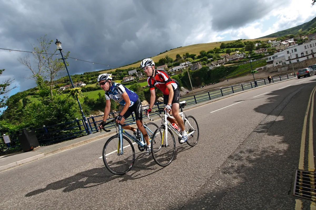
Turning left onto the A399, it’s as if British cycling normality has resumed, despite the fact that we’re now on the edge of Exmoor National Park – this A-road does have traffic, and it starts straight and draggy with a headwind…
Over the brow, the road levels out at 316m, the highest point of the ride and then stretches out ahead of us, rolling green fields under big skies on either side. This is still civilised Exmoor – the edge, where hedges grow, and the sheep have to stay roughly where they’re put.
Despite the headwind our speed starts to pick up and we’re soon enjoying the teamwork and pace of some fast through-and-off riding over Kentisbury Down. Then suddenly, just as our two-up time trial tops 50kph, we get some corners. Fast, flowing, downhill corners that swoop us three kilometres down from the head of the valley to Combe Martin’s four kilometre-long high street. Right at the end of the street there’s a lovely sheltered cove, with a beach that fills up at high tide.
We crack on though, climbing steeply past rows of guest houses and campsites up Newberry Hill heading west. We’re both out of the saddle, though Rob is finding it easier than me: “You get used to it round here,” he says, comfortable with his 53/39 chainset. He’s got the look of a man who spends all day outdoors, so it’s no surprise to hear he works at Torrington Bike Hire and doesn’t own a car.
No sooner have we climbed Newberry Hill than we’re shooting down through the woods on the other side to Watermouth. Through the trees on our right there is a forest of masts in Watermouth harbour, opposite which is Watermouth Castle.
TWIN PEAKS
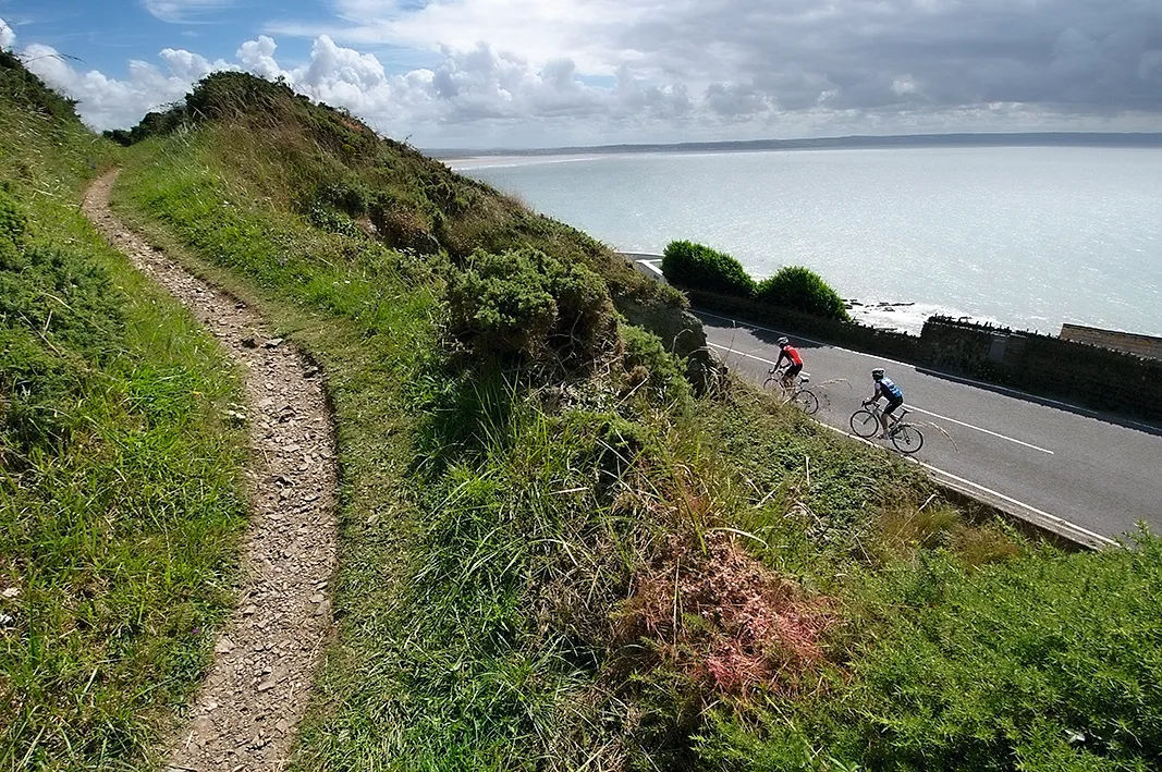
Immediately after we’re climbing again, up above Samson’s Bay to a row of exposed houses called the Coastguard Cottages. From here there are amazing sea views west down into Ilfracombe, where we can see the distinctive Madonna bra-like twin cones of its Landmark Theatre and back East to the 800ft cliff face of Hangman Cliffs – the highest sea cliffs in England.
Now we’re getting the true taste of south-west coastal riding as we plunge immediately down to the next cove, Hele Bay. Straight after there’s a short but steep clamber over the next headland, round the back of the imposing Hillsborough Hill.
The town of Ilfracombe tells the whole story of the rise and fall of the British seaside resort, peaking in the 1950s and nose diving as cheap foreign package holidays thrived. Today though it’s busy, and the crowds are honing in on the Quay.
This is where we have a coffee, in a restaurant owned by artist Damien Hirst. It’s the perfect place for people watching. [Sadly, it's been announced that The Quay is to close in October 2018]
Fuelled up with caffeine, we head west out of town. There are no two ways about it, the busy road from Ilfracombe to Mortehoe is rubbish. Thankfully Rob isn’t planning on taking us along it. Instead, just on the other side of the town centre we duck off the main road and start climbing the curiously named Station Road.
There hasn’t been a train in Ilfracombe since the 1970s when the station was closed. It’s incredible to think that back in the resort’s heyday of the 1950s over 10,000 holidaymakers used to arrive at Ilfracombe station every Saturday.
Equally surprising is that any train could make it up the hill we’re climbing: “Two engines in front and one behind,” Rob says.
The silver lining to the decline of the railways is that all that engineering endeavour now makes an excellent car-free cycle path.
The paved path takes us through woodland along a peaceful, gently rising cutting, which occasionally emerges into clearings where we pass families picnicking. Halfway along we catch glimpses through the trees of the two reservoirs that water the Victorian town below, before rolling sun-blind through a tunnel and eventually out into the light.
Our trail pops us out onto the main road that leads down to Woolacombe. But instead of taking the direct route down, we bear right and drop past caravan parks and a golf course to Mortehoe, the tiny stone-built village that’s huddled around two pubs, a church and a chippy.
OVERCOOKED CHIPS
Sadly the chippy has burnt down so we stock up with shop sandwiches instead before spinning down the near vertical road into Woolacombe itself. First though, just before the main beach, there’s a stunning little cove called Coombesgate.
Just around the corner the full splendour of Woolacombe Sands reveals itself. Three miles of golden beach arc south towards the distant headland of Baggy Point backed by steeply rising sand dunes and then a gorse covered hillside.
Cruising past tourists on the Esplanade, for an instant it seems a little unnatural not to be heading for a lie down on the sands or gorge on ice cream. Rob doesn’t seem to be in a hurry to go anywhere fast. Very soon it becomes clear why, as facing us is the tarmac wall of Challacombe Hill. With a maximum gradient of 25 per cent and an average of 12.3 the hill might only last 1.3 kilometres, but it packs a punch.
Thankfully nothing comes down it forcing us to stop, and I’m also hugely grateful for the compact chainset of the Boardman that I’m riding as I grind slowly and painfully up between the sun-bleached hedges. The worst of the gradient behind us – as well as at least one false summit – we pull over to take in the stunning view.
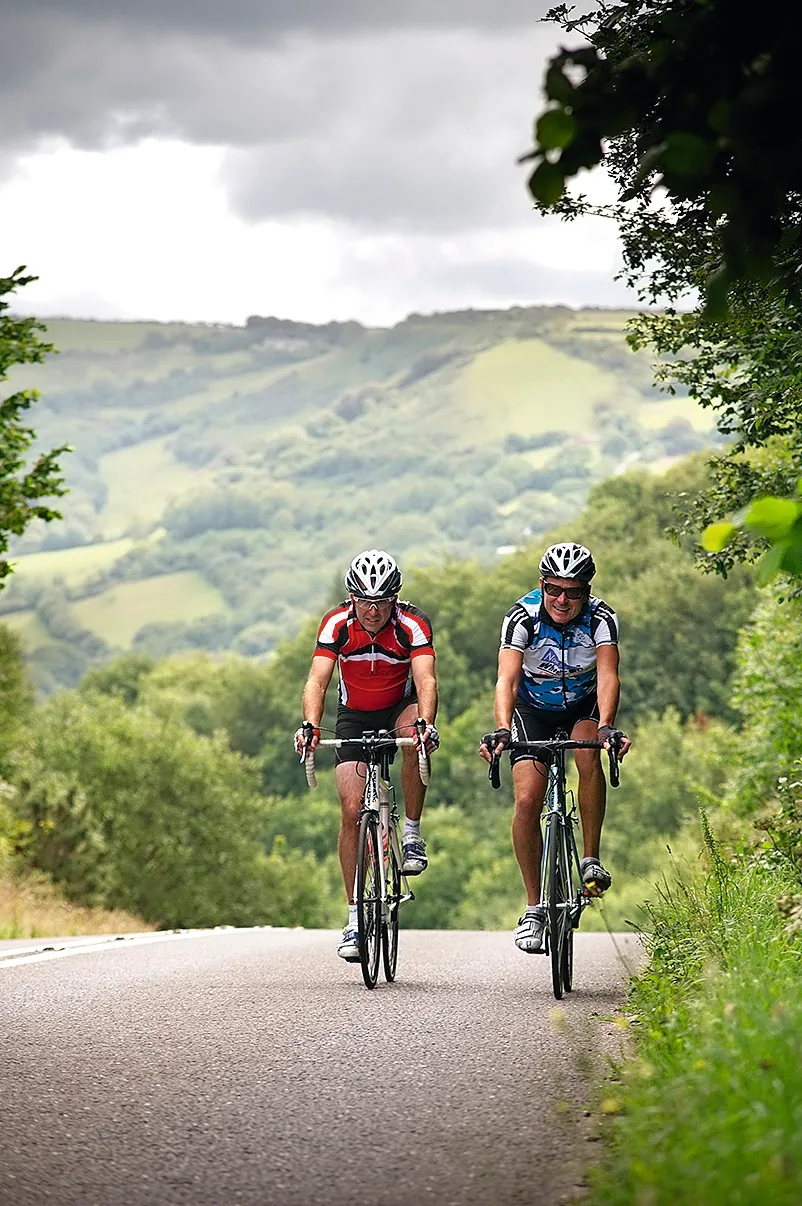
Pleased with our climbing we enjoy the tailwind spin across the top between high hedgerows. The trees are all bent over by the stiff southwesterlies, but we pass through the shelter of a tree-lined tunnel before a careful descent of the steep, loose road to Georgeham’s thatched cottages.
“Watch out through here,” says Rob, “the front doors open straight out into the road!” Only a few hundred metres further and we roll over a bridge into Croyde. If north Devon has a surf capital this is it and the one-corner, three-pub village is heaving with holidaymakers – all of whom seem to be walking on the main road.
Leaving the village, with Croyde Bay and its beach worshippers stretching away to our right, the main road takes us up and round the headland at the south end of the bay. It’s busy but worth it for the Turneresque coastal view on the other side.
Far below is Saunton Sands, its shallow beach and mellow white water teeming with families. Crowds stick to this end of the beach but the wide bay stretches away into the misty distance, past the estuary of the combined Torridge and Taw rivers to Westward Ho! 8km away.
Behind is the sand dune system of Braunton Burrows. Now an Area of Outstanding Natural Beauty, the dunes would have been teeming with tanks, troops and landing craft 70 years ago as the Americans practised their amphibious assault ahead of their real D-Day landing.
After a fast, short descent past the Saunton Sands hotel on the main road, we take the first right and head behind the Burrows themselves. Now we’re on a deserted lane across flat, drained land lined with reeds and the loudest noise is the wind hissing through them. After the main coastal road, the peacefulness is striking.
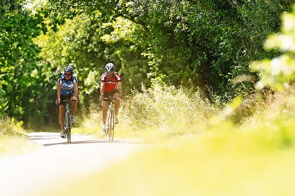
A few minutes and miles later we seem to arrive at the back door of civilisation once more, only to avoid it again by turning onto the Tarka Trail. This ex-railway turned bike path runs along the Taw estuary through Barnstaple to Bideford, then to Torrington – where Rob works – and then all the way to Dartmoor.
The first place we pass is Chivenor military base then after a few road crossings we emerge on a sheltered path above the estuary’s wide, muddy sands. Sitting on the low-tide mud a handful of live-aboard house boats give a brief glimpse of an alternative lifestyle, before we notice a gate on our left leading to a pub…
On the other side of the hedge the huge terrace of the Braunton Inn is littered with bikes, tag-alongs and child trailers, and their riders. A shandy and bag of crisps later we tear ourselves away despite Rob’s complaints of how unaccustomed he is to having ‘just the one’. Thankfully all that’s left of our ride is a fast, flat spin along the remaining few miles of blissfully traffic-free bike path to Barnstaple, our pace quickened by an excellently timed tailwind for the perfect finish back to the round square where we started.
LOCAL KNOWLEDGE
Nearest station
Barnstaple www.nationalrail.co.uk
Food and drink
There is a cafe in the Barnstaple Tourist Information centre at the start, www.staynorthdevon.co.uk, and excellent pubs and cafes in Barnstaple, Combe Martin and Ilfracombe. The Ship Aground pub in Mortehoe is popular for food, www.shipaground.co.uk, while Woolacombe is full of good cafes, tea shops and ice cream parlours – including the Red Barn which does excellent pub food, www.redbarnwoolacombe.co.uk. On the Tarka Trail we stopped at the Braunton Inn, vintageinn.co.uk.
Where to stay
There are many B&Bs and hotels in Barnstaple, and all the coastal resorts along the route.
Bike shops
The Bike Shed is on the square in Barnstaple, www.bikesheduk.com, where there is also a large Halfords www.halfords.com.
Tourist information
Images: Seb Rogers